We’re not the only people going to Alaska, but it certainly feels like it driving through Alberta. We’re on big four-lanes all the way with no traffic except in cities, and we’re done with cities. All we see are Alberta plates and RVs are rare. It seems the Montana route up through Canada is relatively undiscovered. Very few out-of-province travelers; our Texas plates have inspired more than one friendly conversation. That and Henry; Henry gets a lot of attention too. We expect to meet-up with the rest of the Alaska travelers at Dawson Creek.
Rest areas are more frequent and much simpler than we’re used to; minimal landscaping and facilities. Not as attractive as they could be, but they’re functional. Less expensive to build and maintain means it’s easier to afford more of them. In between rest stops are pullouts that are no more than a couple extra lanes, one for decelerating and accelerating, and one to park in. We’ve never passed one that was full.
Northwest of Grande Prairie we finally lost the four-lane and are down to two lane. The road is a little rougher in spots, but no frost-heave horror stories yet. So far we’ve survived the rough-spot bounces with all six wheel remaining on the road. West of Valley View, it’s definitely more hilly, but certainly not mountainous yet.
We stopped for diesel fuel around Edmonton and filled up at a Flying J; something we’re used to. As we get farther from civilization, mostly what we see are Cardlock stations now. We gather that means they’re card activated pumps that are open and unattended around the clock. Problem is, it’s not clear that the card they take is a normal credit card or if they require some special card like one for that particular brand. A few years ago, we stopped at one of those unattended cardlock stations and couldn’t get it to work. We’ll report back on that challenge.
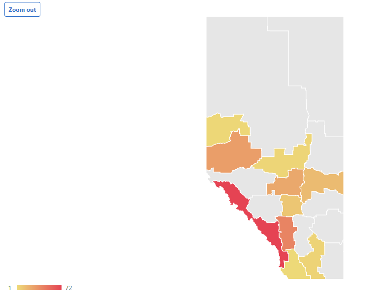
And now we’ve made it to British Columbia. We’re at Dawson Creek. We’re done with the Alberta map for this part of the trip.
Dawson Creek is the home of milepost zero. We’ve made it to the start of the Alaska Highway! We’re at a gravel parking lot kind of RV Park.
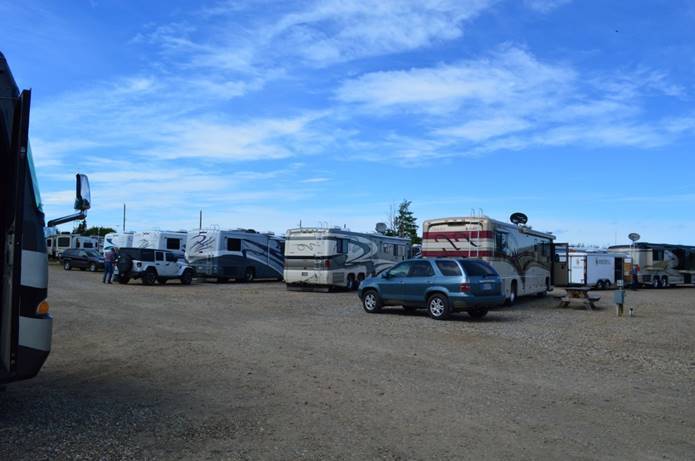
The park is pretty full. There is a Foretravel caravan with eighteen rigs camped here for the night also on their way to Alaska.
Took the picture at mile marker zero.
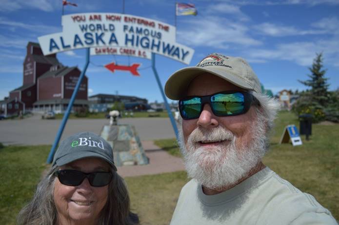
It didn’t come out very good. That’s a selfie with the 35mm camera. It had to choose between focusing on us or on the sign behind us. It picked us. I’ve got a new phone and haven’t mastered managing the photos yet. They come out HUGE.
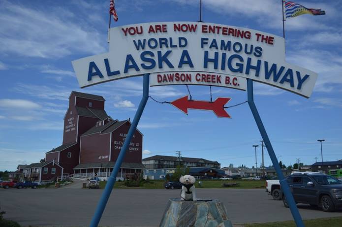
Henry’s picture came out better.
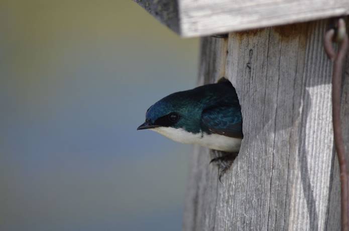
Spotted a tree swallow in a nesting box.
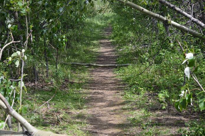
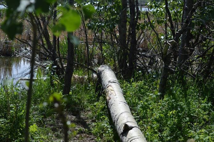
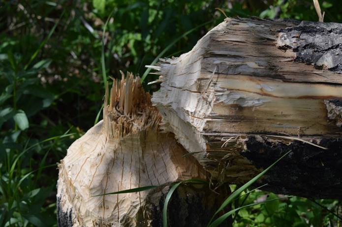
…and some beaver-felled trees.
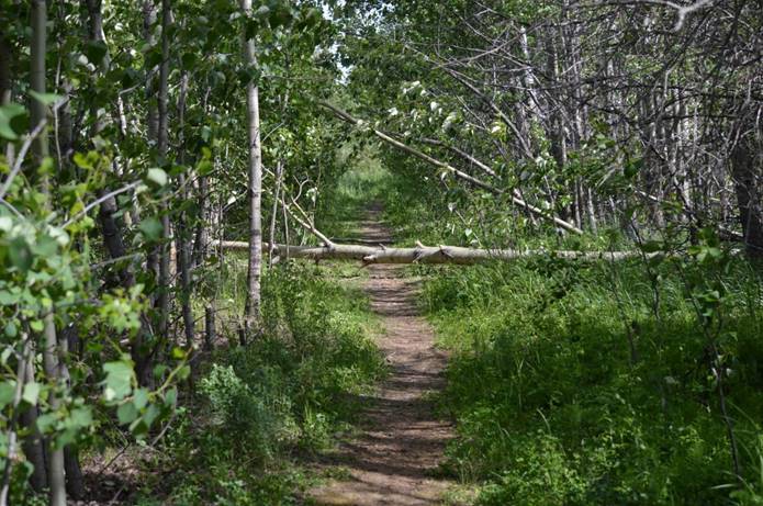
Some of them substantial.
We thought we might stay here two days to celebrate this beginning, but we took a drive around in the Jeep this afternoon and we’re done with Dawson Creek already. Tomorrow, north to our next adventure. Camping gets a little iffier as we go on from here. We won’t necessarily be at campgrounds every night.
The Great 2019 Alaska Trip map
Sunset tonight 9:46; we’ve crossed into the Pacific time-zone. Last light 10:44.
1,459 miles to Fairbanks.
No comments:
Post a Comment