Driveabout!
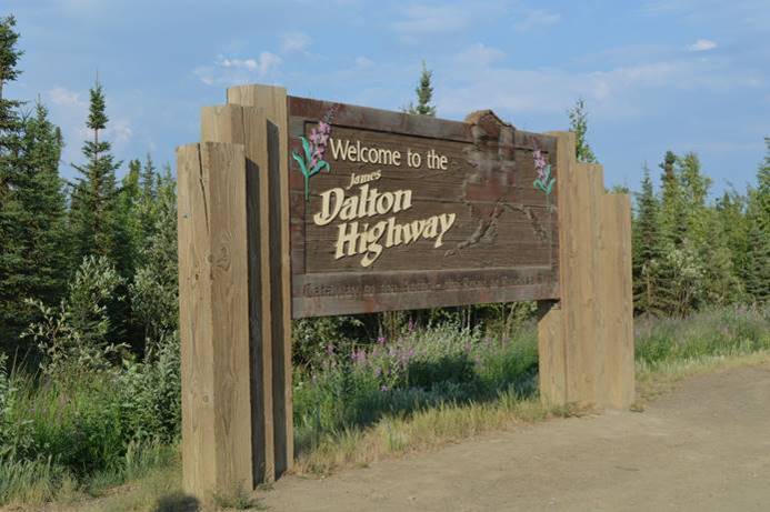
Fairbanks is pretty far north, but there is one highway that goes even farther north from here. It’s the Dalton Highway. It’s not reputed to be a good road, but it goes all the way up into the Arctic Circle 500 miles to Prudhoe Bay on the Arctic Ocean. Prudhoe Bay is not a tourist destination, it’s just an oil handling facility for north slope oil, and the northern end of the Alaska Pipeline that transports oil all the way down to the seaport in Anchorage for transport by tanker. Rough road, no facilities, a multi-day effort, nothing but oil processing at the destination; not a road we want to take.
We thought it would be a good idea to follow it for a while just to see what it was like and how the terrain changed as we got north out of Fairbanks though. We headed off with the town of Livengood, two hours away as a possible destination if the road was good enough. Judy got the wrong word in her head briefly and thought we going to Feelingood, but she couldn’t find it on the map. Every time she googled it she got pot shops instead. We got past that disconnect and found surprisingly good road all the way there.
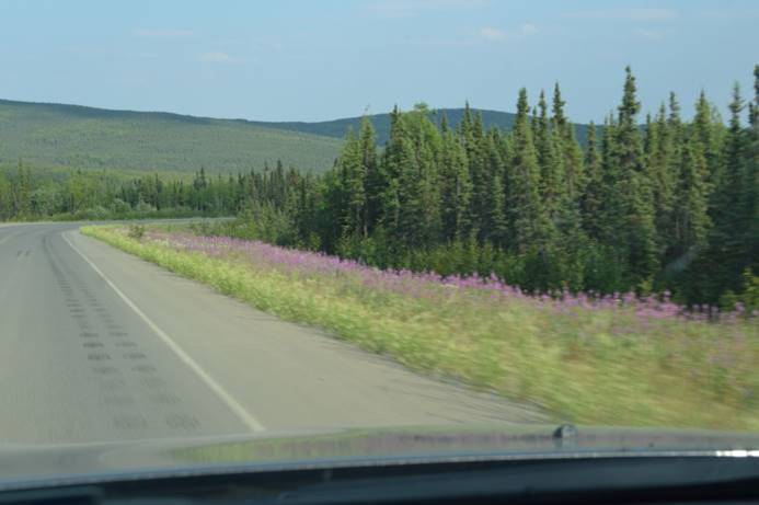
Some construction, lots of gravel, but no problem, and after a while the road went back to pavement again. That was a surprise. Altogether an interesting drive. We watched the Alaska Pipeline zig zag its way across the terrain. Sometimes it’s below ground, but where there is permafrost, or earthquake risk, the pipeline has to be elevated. It zig zags to accommodate the expansion and contraction of metal through a 160 range of temperature extremes and is not fastened to the vertical supports, but rides on a Teflon shoe that can slide as needed.
We thought Livengood would be a town because that’s what it looks like on the map but no, we were wrong. Livengood is a collection of cabins, with all the ones close in, like might be a town, abandoned. We drove around. Looked around. Explored the Manley Highway off toward Manley Hot Springs through some good moose habitat, but didn’t find any moose.
It was only another hour to the Yukon River crossing, so we decided to drive on. We got to the River about 2pm.
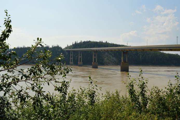
There is a nice modern metal bridge across the Yukon but interestingly, the road surface is made of wooden slats.
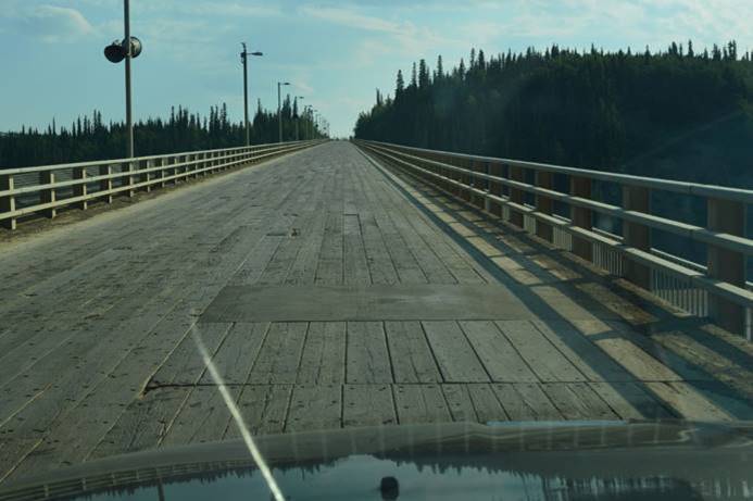
Of all the materials they could have paved the bridge with, wooden slats seemed like the best choice. Whatever they use, it has to withstand temperature extremes of 80 degrees above zero and 80 degrees below.
The road wasn’t bad. It was nice there. The weather was good. And it was only another 60 miles to the Arctic Circle! I checked the gas gauge. We were not yet down to half a tank. Wherever we were when we hit half a tank had to be our turnaround point. It looked like we could make it.
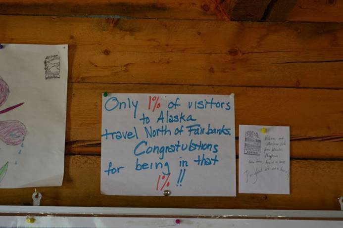
We drove on. The road never got any worse and it was still often even paved! Piece of cake! Now we’ve been all the way to the Arctic Circle.
cid157617695145.7740.1065295088297521511@Feluria0" style="width:5.775in;height:3.8416in" width="554"/>
We thought about hanging around and photographing the sunset, but quickly dismissed that idea.
There were other people there, excited to be at the Arctic Circle. In fact, there is a host passing out stamped certificates to document the achievement.
cid157617695145.7740.17341280997009348781@Feluria0" style="width:6.5in;height:4.85in" width="624"/>
We met a group of three people that had traveled all the way from Brazil. They had made it all the way to Canada on their motorcycles then one of the bikes broke down. Not wanting to split up the group, they left their motorcycles, rented a car, and traveled together the rest of the way. While we were talking to them, a young couple from Argentina arrived in their VW Bus! They drove all the way from Argentina!
We saw a few birds, made notes to record them later, and at 4:30pm began the five-hour plus drive home. Rolling hills. Tundra. Boreal forest.
cid157617695145.7740.2633343736816692147@Feluria0" style="width:5.775in;height:3.8416in" width="554"/>
Zig zagging pipeline.
cid157617695145.7740.7546981520831893643@Feluria0" style="width:5.775in;height:3.8416in" width="554"/>
cid157617695145.7740.7273283464273546130@Feluria0" style="width:5.775in;height:3.8416in" width="554"/>
Glorious alpine valleys. Rivers, lakes, and moose ponds.
cid157617695145.7740.12835515818288025705@Feluria0" style="width:5.775in;height:3.8416in" width="554"/>
cid157617695146.7740.15651458022170614299@Feluria0" style="width:5.775in;height:3.8416in" width="554"/>
cid157617695146.7740.7647427315292607594@Feluria0" style="width:5.775in;height:3.8416in" width="554"/>
No moose. Forest fire smoke off and on. A brilliant red setting sun that wasn’t actually going to set. We ate all the lunch we had brought and most of the granola bars. We drank our two cups of coffee each. Our water lasted the entire day. We made a quick stop at Taco Bell in Fairbanks at 9:30 at night just to get something in our stomachs before bed. Home by 10pm.
A four-hundred fifty mile drive. A long day. Tired butts. But I got us home before dark!
The Great 2019 Alaska Trip map
Here is how we’re doing on the Alaska county bird map.
cid157617695146.7740.6611479072882415887@Feluria0" style="width:6.5in;height:4.1in" width="624"/>
[gallery link='file']

No comments:
Post a Comment