It's the closest place we can go out for a walk. It's only a mile from our house.
Here is the map link.
If the map isn't on satellite view already, click that button and you can see the trails available to us. I can walk an out and back between the two entrances. I can walk around the lake labeled Edinburg Lake on the map, or I can do that long way round at the top. Each track gets me different habitat.
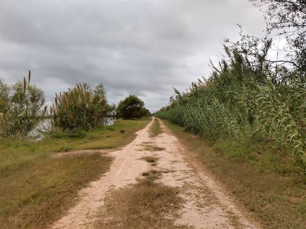
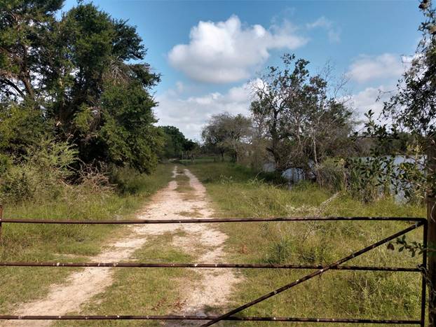
This road between those two entrances used to be open to local traffic. It was too good a spot to go fish, drink, then accidentally drive your car into the lake though, so the water district gave up and closed the road to the public. The first time we drove it, I was watching for birds and the only thing I saw was an osprey. I determined it was a bird-desert. After they closed the road I called and got permission to walk it. No problem. It's not a place many people go; mostly just the occasional person illegally fishing. It's not on anybody's birding hotspot map. But once I started walking it, I discovered there is a lot more going on here than I first thought. Not a bird desert at all, last walk there yielded thirty different species of birds. The "me now" really taught something to the "me then" that thought there weren't any birds here.
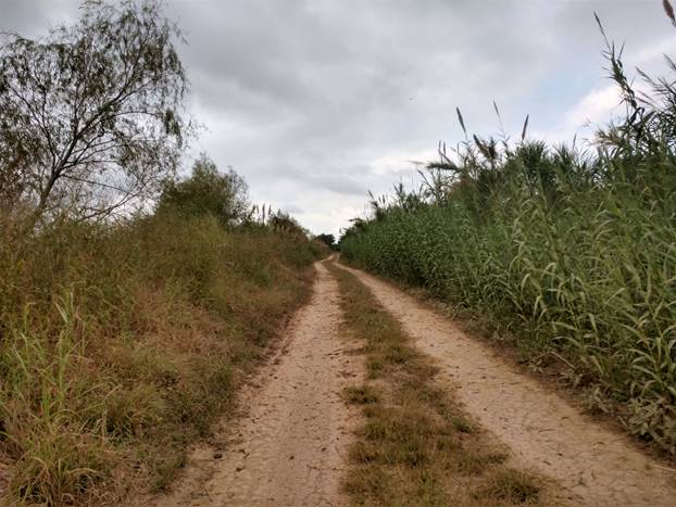
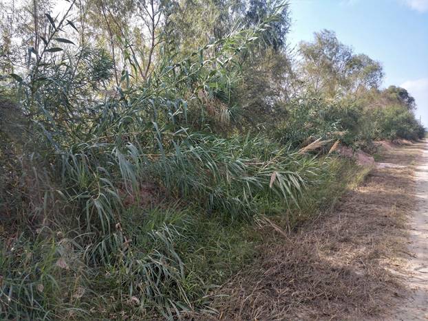
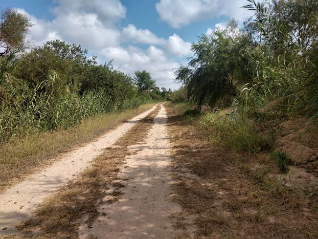
The road is lined with native river cane. Its domestic cousin, sugar cane, is widely grown in the Valley as an agricultural crop.
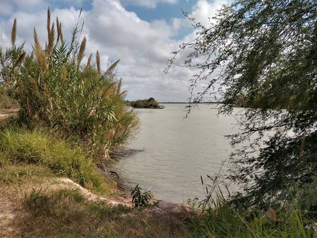
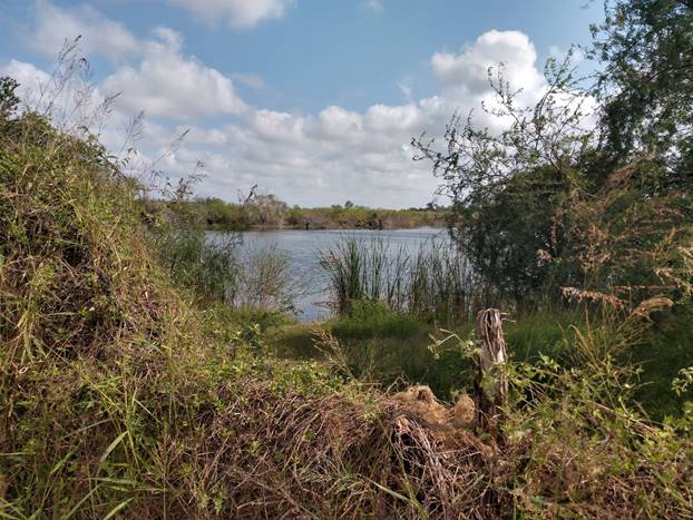
There are several different lakes. They constitute the water storage for the city.
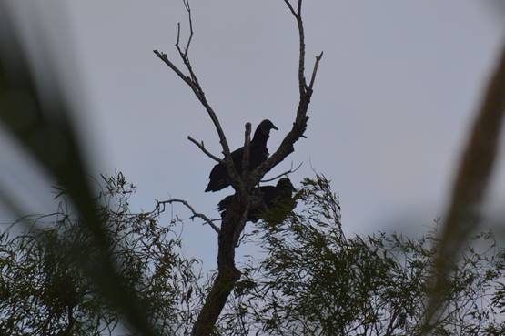
And there are remains of a ranching history.
With black vultures hanging out in silhouette.

No comments:
Post a Comment