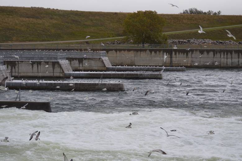
This one!
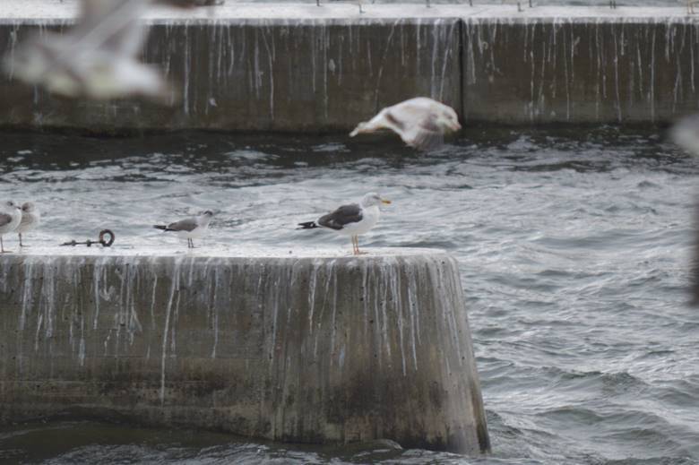
Lesser black-backed gull.

South Dakota again today.


Seattle to New York part of the trip map
1,433 miles to Pleasant Valley. We’re halfway there!

This one!

Lesser black-backed gull.

South Dakota again today.


Seattle to New York part of the trip map
1,433 miles to Pleasant Valley. We’re halfway there!
Through the wind and rain. (Nothing freezing; we’re staying ahead of that. It’s currently snowing and in the twenties in Bozeman, where we were a couple days ago.)
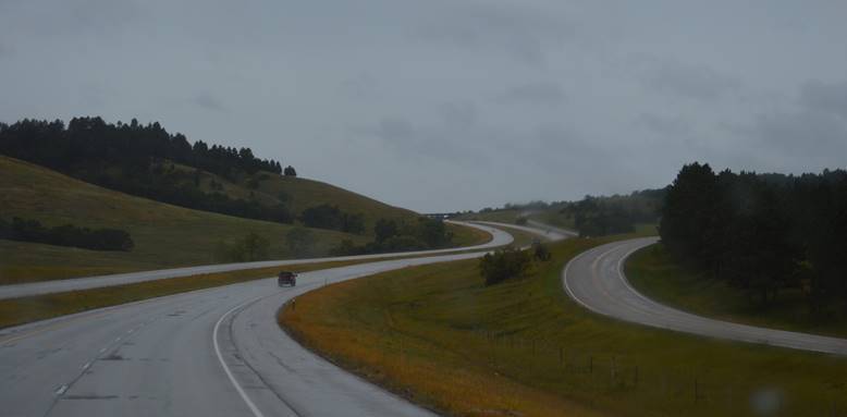
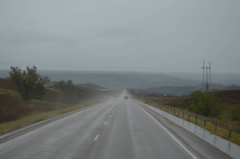
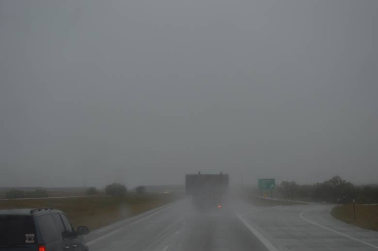
Eventually clearing.
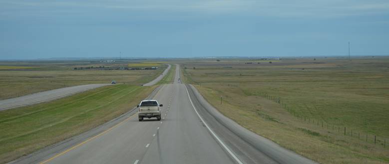
And we could see the cattle.
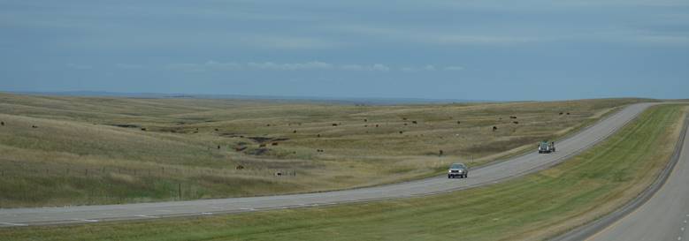
Hay.

Sorghum. Corn. (No photos.)
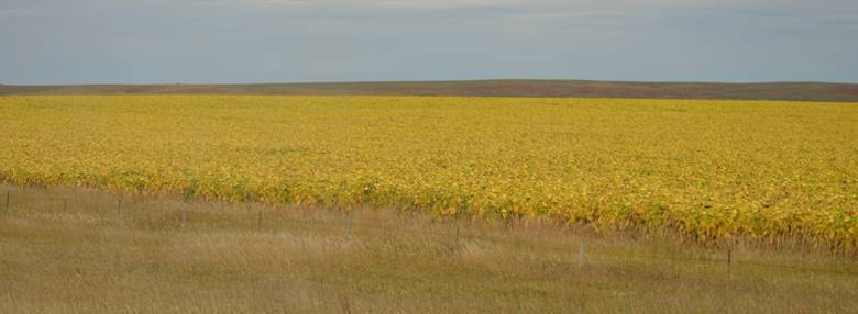
And sunflowers.
Tonight’s camp.
The water in the lake behind us seems a little high.
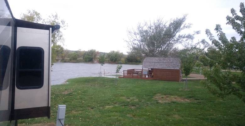
Right on the Missouri River.
We’re in shoulder season; not many people here.
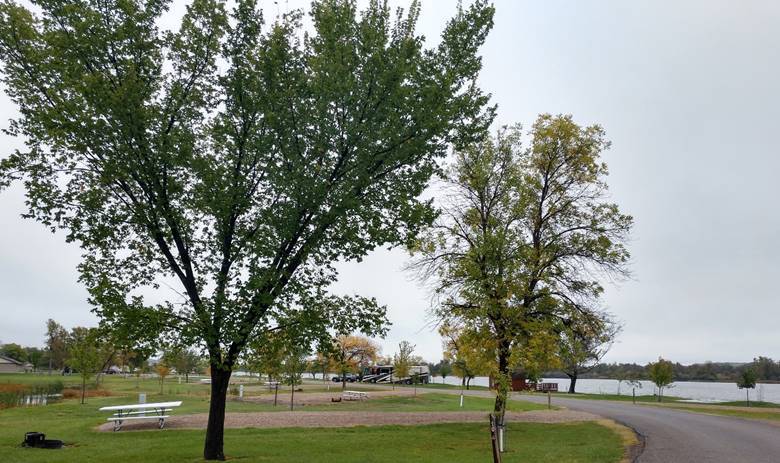
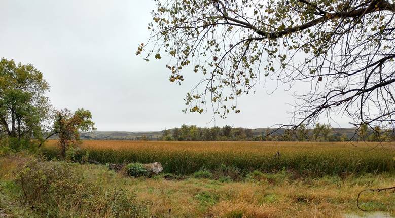
We’re on an arm of the Missouri River.
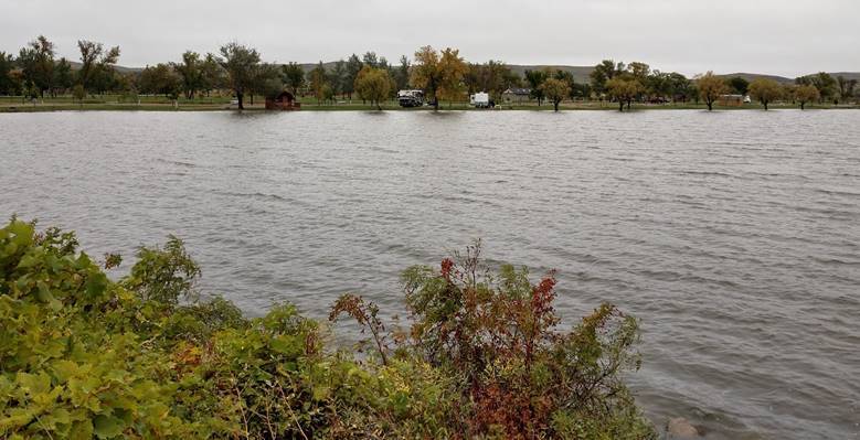
The water seems high for this time of year. I thought flooding was supposed to happen in the Spring.
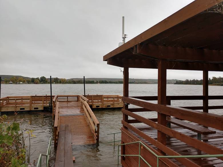
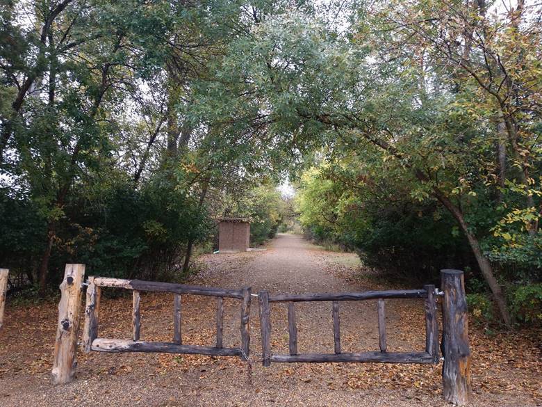
Excellent trails.
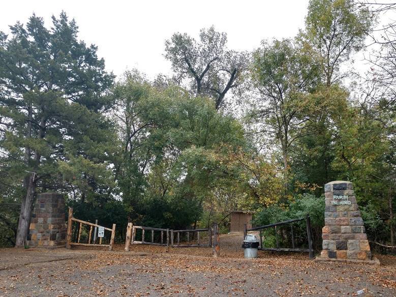
This is the Missouri River.
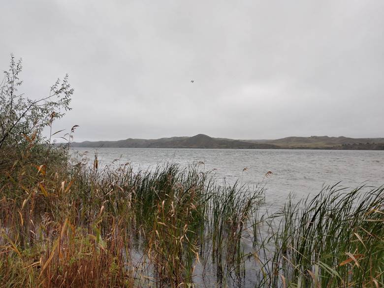
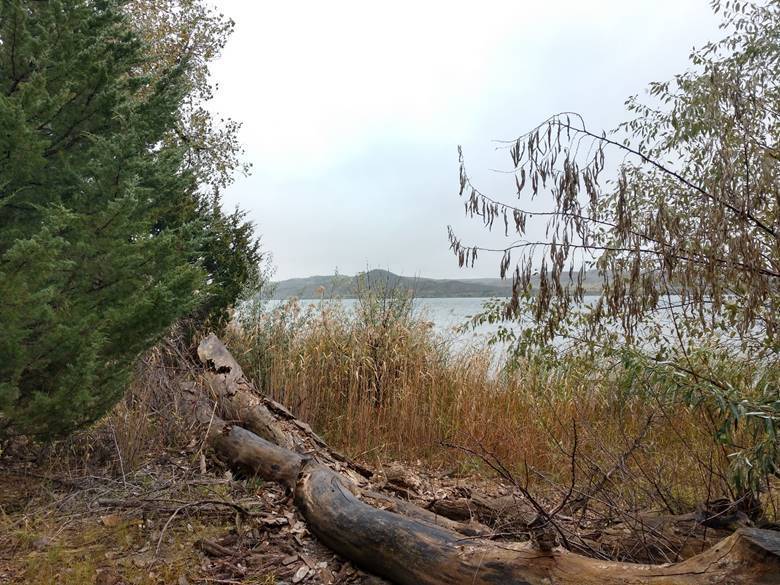
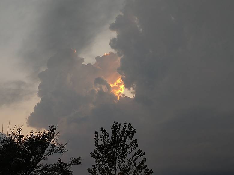
And, after all these days of rain, a little fire in the sky.
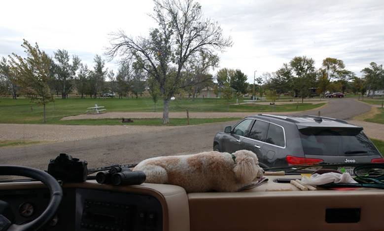
Through the windshield.
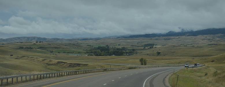
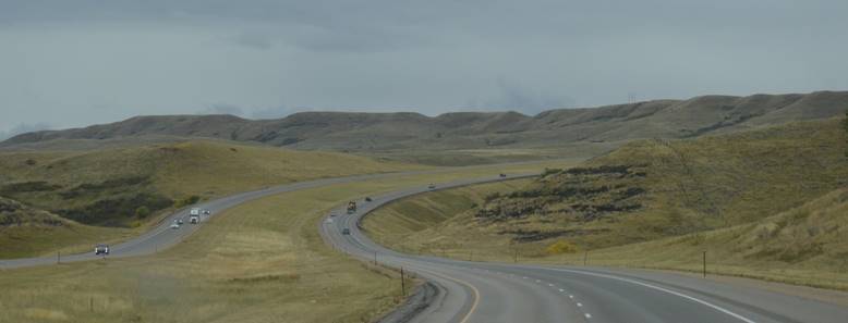
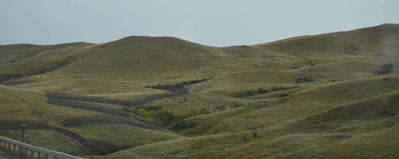
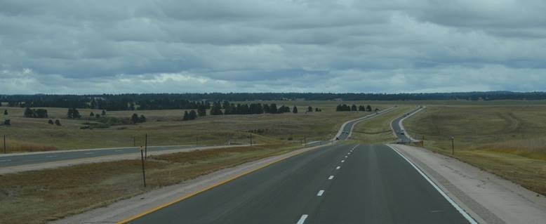
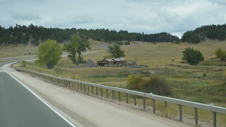
We’re at Spearfish, South Dakota. Tonight’s windshield.
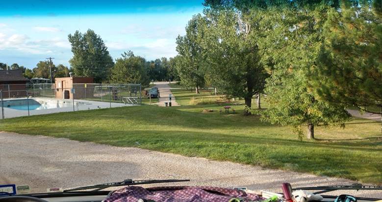
Nice place. Looks like the pool is done for the season though. Actually, we have to call ahead each day to see if the place we want to stop for the night is still open. Lots of places this far north close at the end of September.
Seattle to South Dakota part of the trip map
Through the wind and rain. (Nothing freezing; we’re staying ahead of that. It’s currently snowing and in the twenties in Bozeman, where we were a couple days ago.)
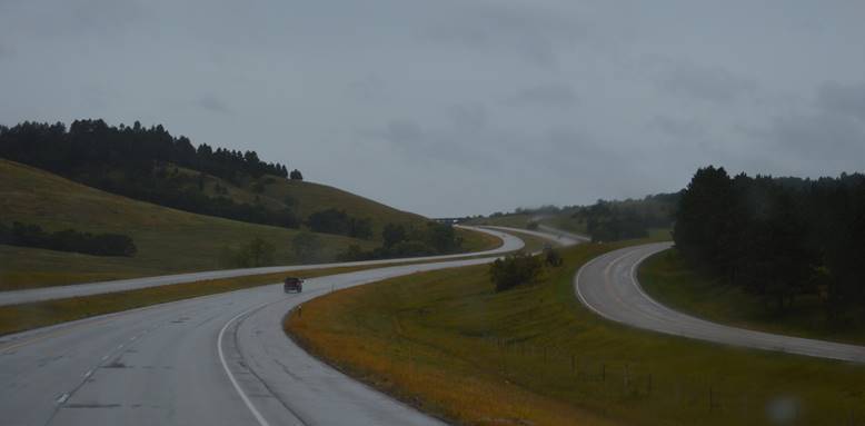
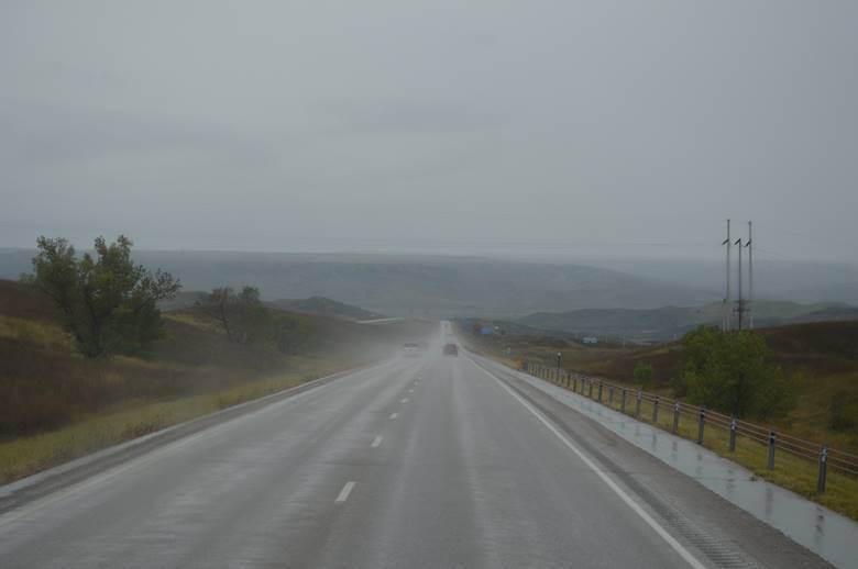
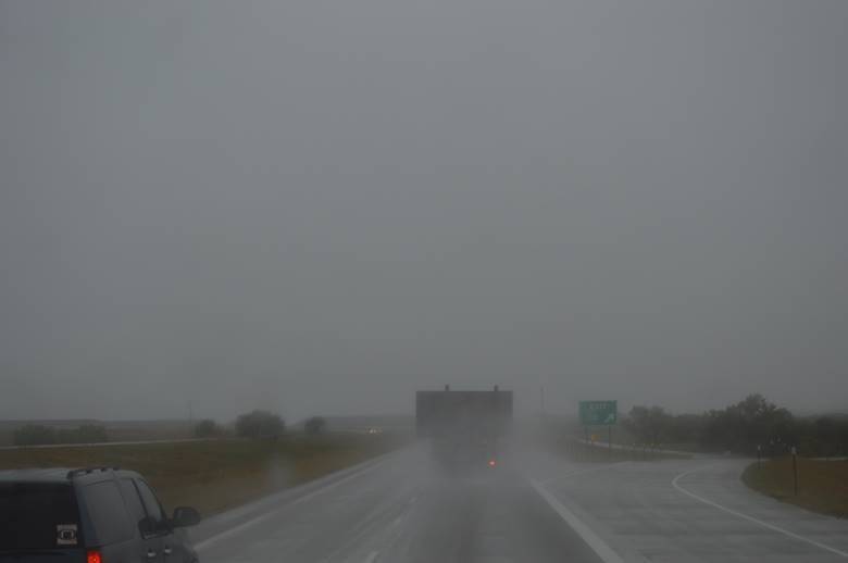
Eventually clearing.
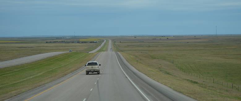
And we could see the cattle.
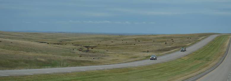
Hay.

Sorghum. Corn. (No photos.)
And sunflowers.
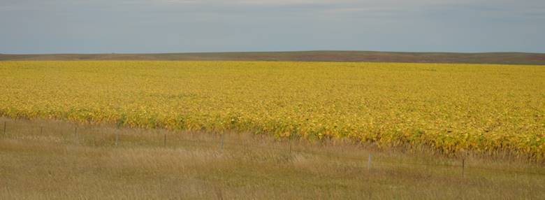
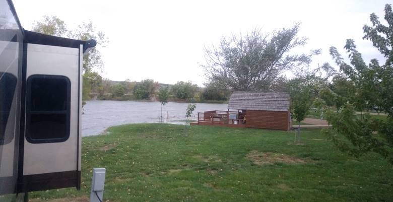
Tonight’s camp.
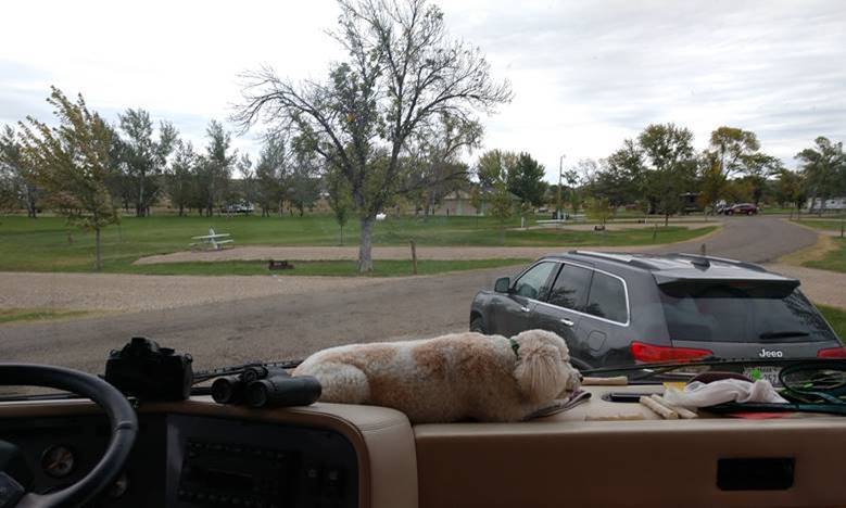
The water in the lake behind us seems a little high.
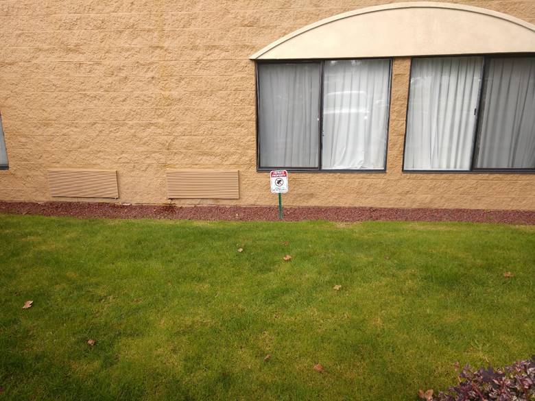
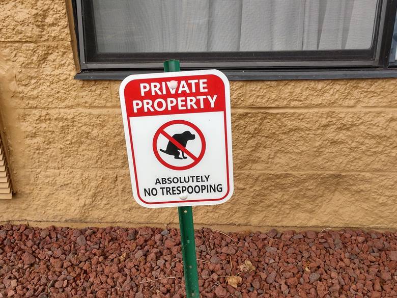
No trespooping.
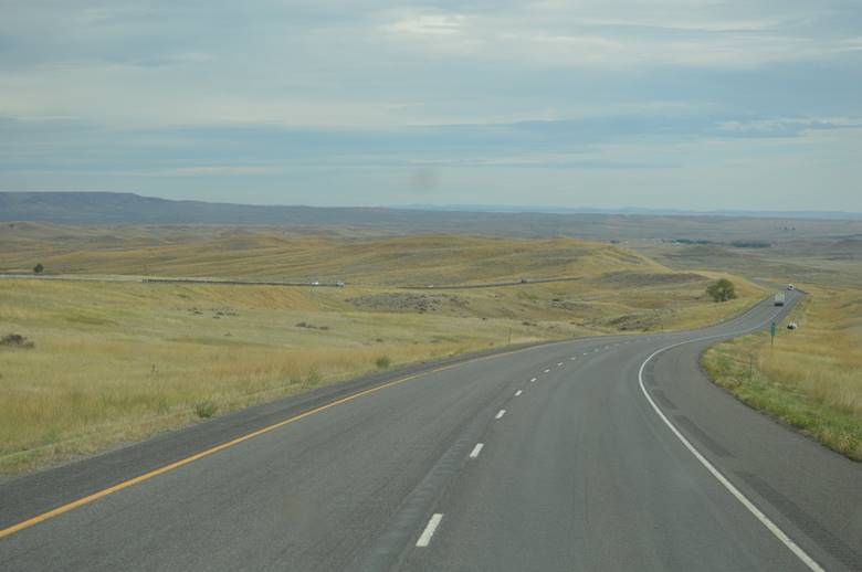
Western Montana extends all the way to Billings. Then the topography gets less forested and more rolling grassland.
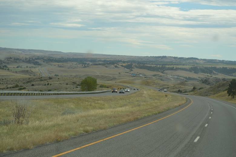
Glorious in its own right.
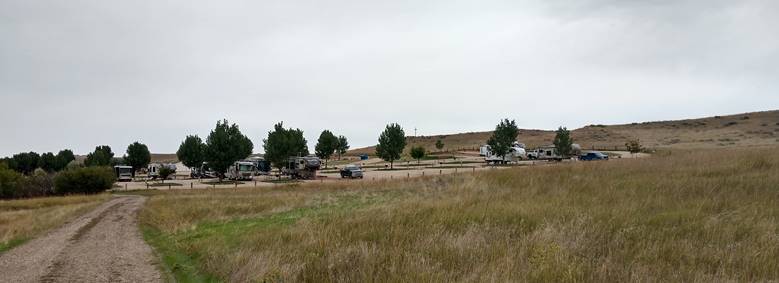
Now we’re at 7th Camp Ranch RV Park. It’s all by itself on a hillside.
The Montana part of the trip map
The RV camp is located close to the Little Bighorn River, and is named in reference to Custer’s 7th Cavalry. It’s a convenient home-base for exploring the sites and history of Custer’s Last Stand. We did that last time we were here, in 2012. This time we’re just passing through.
Like when the screw that holds your lens in on your glasses needs to be tightened,… but the screw that needs to be tightened is on your reading glasses.
We roll down the highway; through Missoula, Bearmouth, Goldcreek, Deer Lodge, and Butte. Through Homestake, Pipestone, Whitehall, Cardwell, and Three Forks. Which led us to Belgrade, Bozeman, Chestnut, and Livingston. From there, it was just a matter of Big Timber, Greycliff, and a stop for the night at Reed Point.
Montana highways.
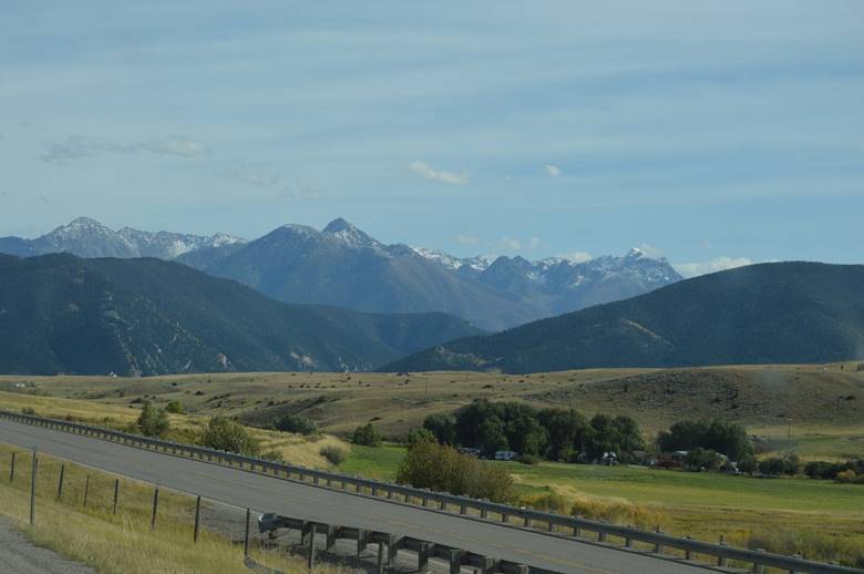
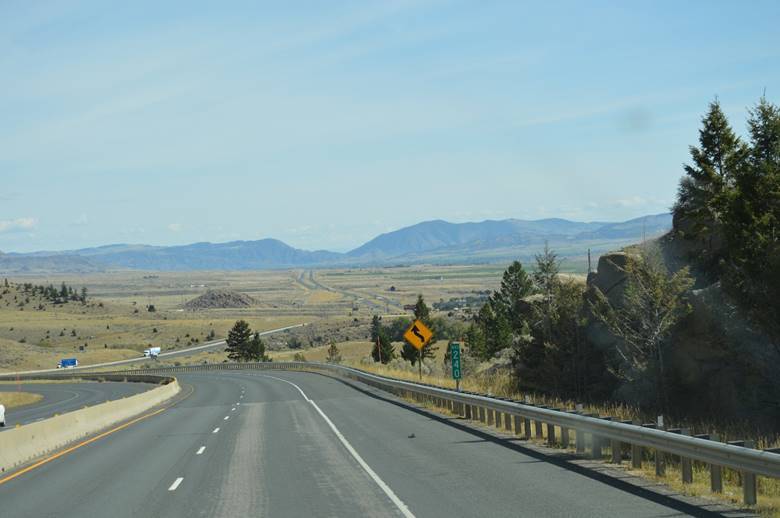
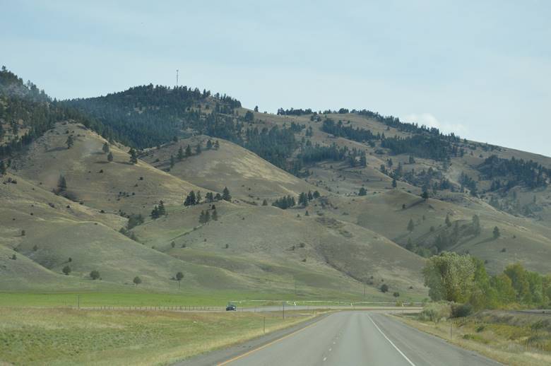
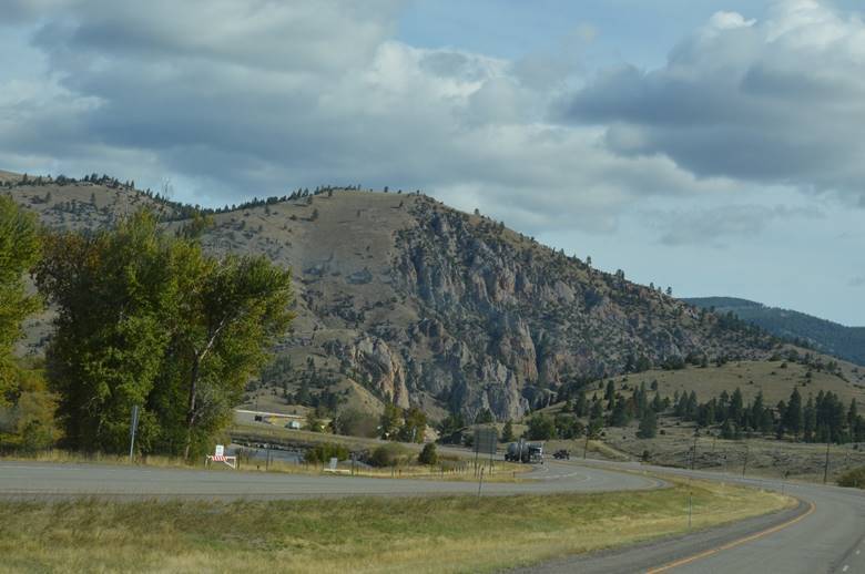
Love, love, love Western Montana.
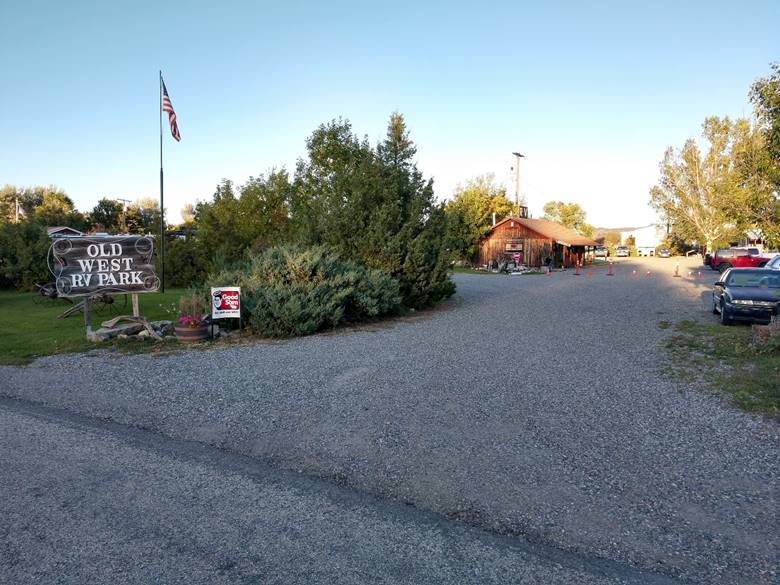
Old West RV Park. A charming little place that serves perfectly as an overnight stop.
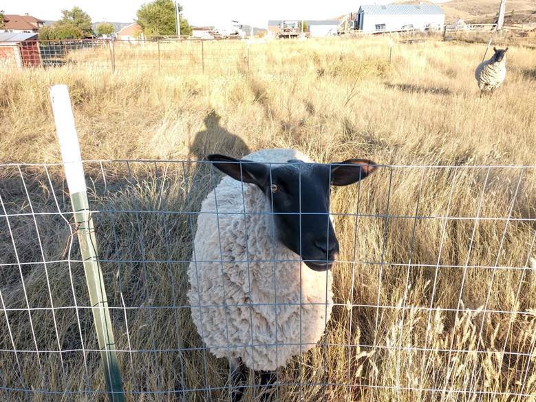
In a walk around town, I engaged with a couple locals.
Found some old buildings.
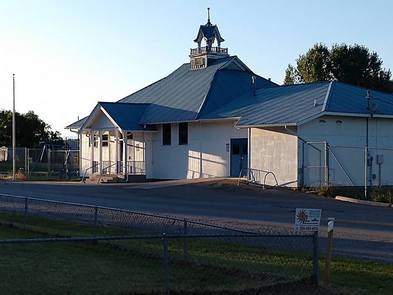
…and stumbled across a Gremlin!
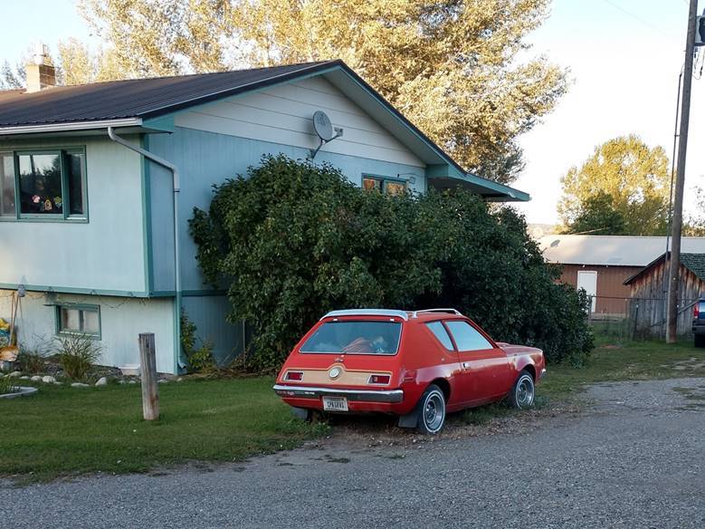
(Last manufactured in the 1970s.)
The Montana part of the trip map
We haven’t taken a day off driving yet. We’re being pushed south and east by the weather. There are temperatures in the teens following us. Temperature in the teens, by itself, isn’t a problem, but any accompanying precipitation could be. We can drive in a little bit of winter weather, but if there is snow overnight that collects on the slide awnings, we either have to skate around on the roof with a broom, or wait for it to melt.